Dataset Details
Coupled Northwest Atlantic Prediction System (CNAPS)
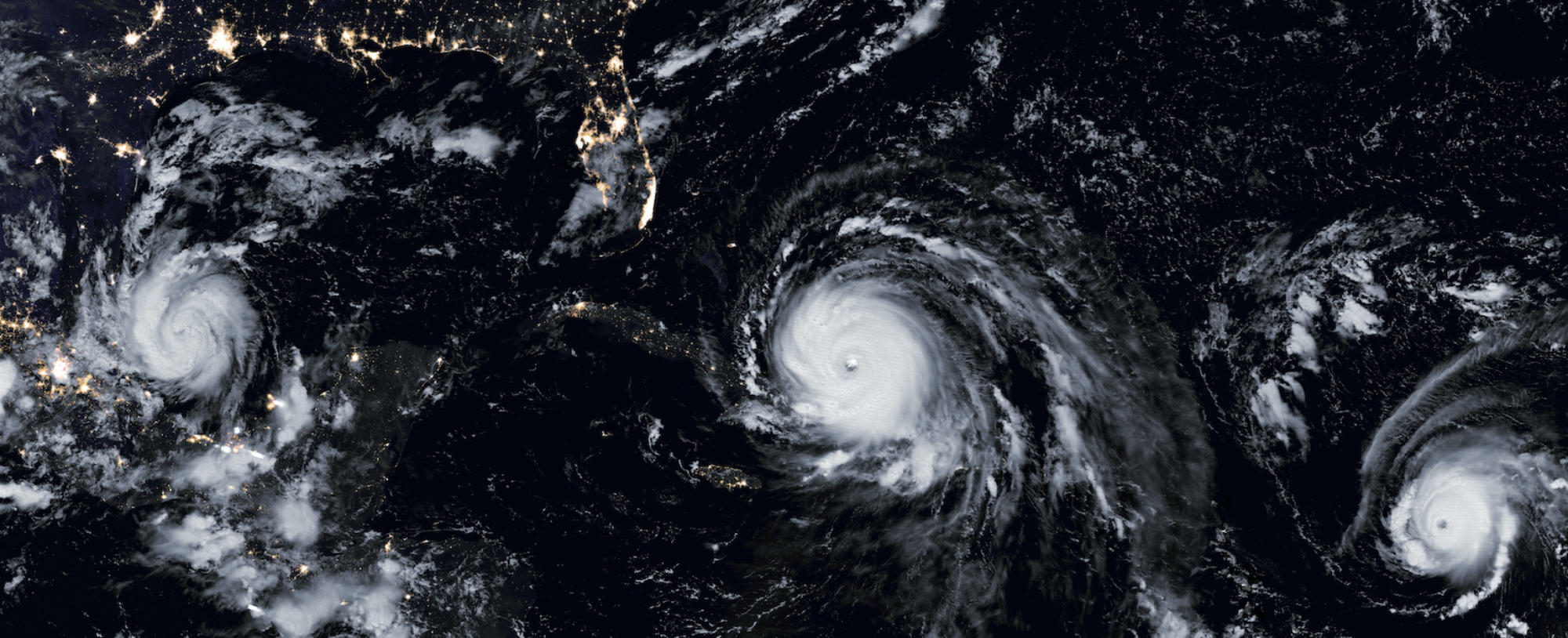
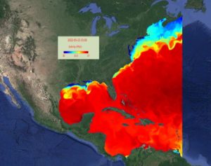
CNAPS is a three-dimensional marine environment nowcast and forecast model. This fully coupled ocean circulation, wave, and atmosphere modeling system predicts conditions over a wide area of the coastal northwest Atlantic Ocean on a daily basis. The model domain covers from the eastern edge of Nova Scotia to the north coast of Venezuela, including the Gulf of Maine, Middle Atlantic Bight, South Atlantic Bight, Gulf of Mexico, Caribbean Sea, and western Sargasso Sea.
Data Type
Numerical model output
Dataset Size
0.5 TB
File Type
NetCFD
Time Range
2013 – present
Geographic Scope
Northwest Atlantic Ocean, west of 60°W
Spatial Resolution
7 km horizontal. Vertical resolution varies.
Time Resolution
3 days
Grid Size
Maxima: X: 100; y: 200; z: 50 grid cells
Input Data Source
Satellites, radar, gliders, ships, moorings
Application / Use Case
Surface and subsurface ocean conditions, marine weather, marine fisheries, particle tracking, etc.
Zambon, J. B., R. He, and J. C. Warner (2014) Investigation of Hurricane Ivan using the Coupled Ocean-Atmosphere-Wave-Sediment Transport (COAWST) Model, Ocean Dynamics, 64(11), 1535-1554, doi: 10.1007/s10236-014-0777-7
Dataset and/or GitHub URL
Point of Contact
E-mail OceanObservingAndModeling [at] ncsu [dot] edu